
Situation Maps
This page provides links to current emergency situations as reported by various organizations. Incident Command Training does not create or maintain these maps; we simply offer them as a resource for our customers.
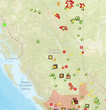
This is a link to the Emergency Map of BC which is overseen by Emergency Info BC and serves as a general reference for current public safety conditions during emergencies.

BCSIMS is a province-wide seismic monitoring network in British Columbia. It consists of 2 main parts: A strong Ground Motion Network & a Structural Health Monitoring network.

NASA FIRMS uses satellite observations to detect active fires and thermal anomalies.


This is the Canadian forecast portal from which the Weather Forecast Research Team at the University of BC produces these research results on smoke forecasts, fire weather forecast & fire information and the Blue Sky Playground.

This is a link to the maps of Native-Land.ca, which offers a classic searchable map of Indigenous territories, treaties, and languages.